Windy Day & Back to Mild – WSVN 7News | Miami News, Weather, Sports
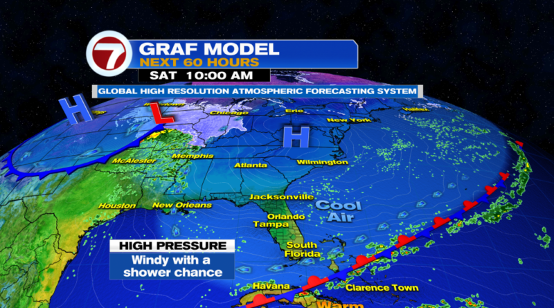
South Florida we had a quick cooldown and now it is over. Today will be a mild day and then it gets back to warm. However, with an old front to the South and high pressure building into the mid-Atlantic region, it turns windy to gusty at times. This means rough marine conditions continue through late tonight in the Gulf and early Sunday in the Atlantic side. Also, expect high rip current risk at area beaches.

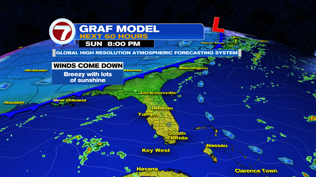
By tonight, there could be some low-level moisture moving creeping in from the South, so there could be widely scattered showers returning into the area at least through Sunday morning. The rest of the day will feature a mix of sun and clouds and mainly dry conditions. Winds start to die down on Sunday with warmer air taking over.
A front is forecast to reach Northern Florida on Monday, but it won’t receive enough of a push to move down the Peninsula until Wednesday. Therefore, temperatures will remain slightly above average (highs in the low 80’s & lows in the low 70’s) through mid-week. Once the front crosses through, back to seasonal normal temperatures to close out the week. We are not expecting moisture ahead or along the front. It should cross through dry.

Have a wonderful weekend South Florida and make it a safe one!
Vivian Gonzalez
Meteorologist, AMS Certified
WSVN Channel 7